

IMAGE
Lone Rock Beach Satellite View Item Info
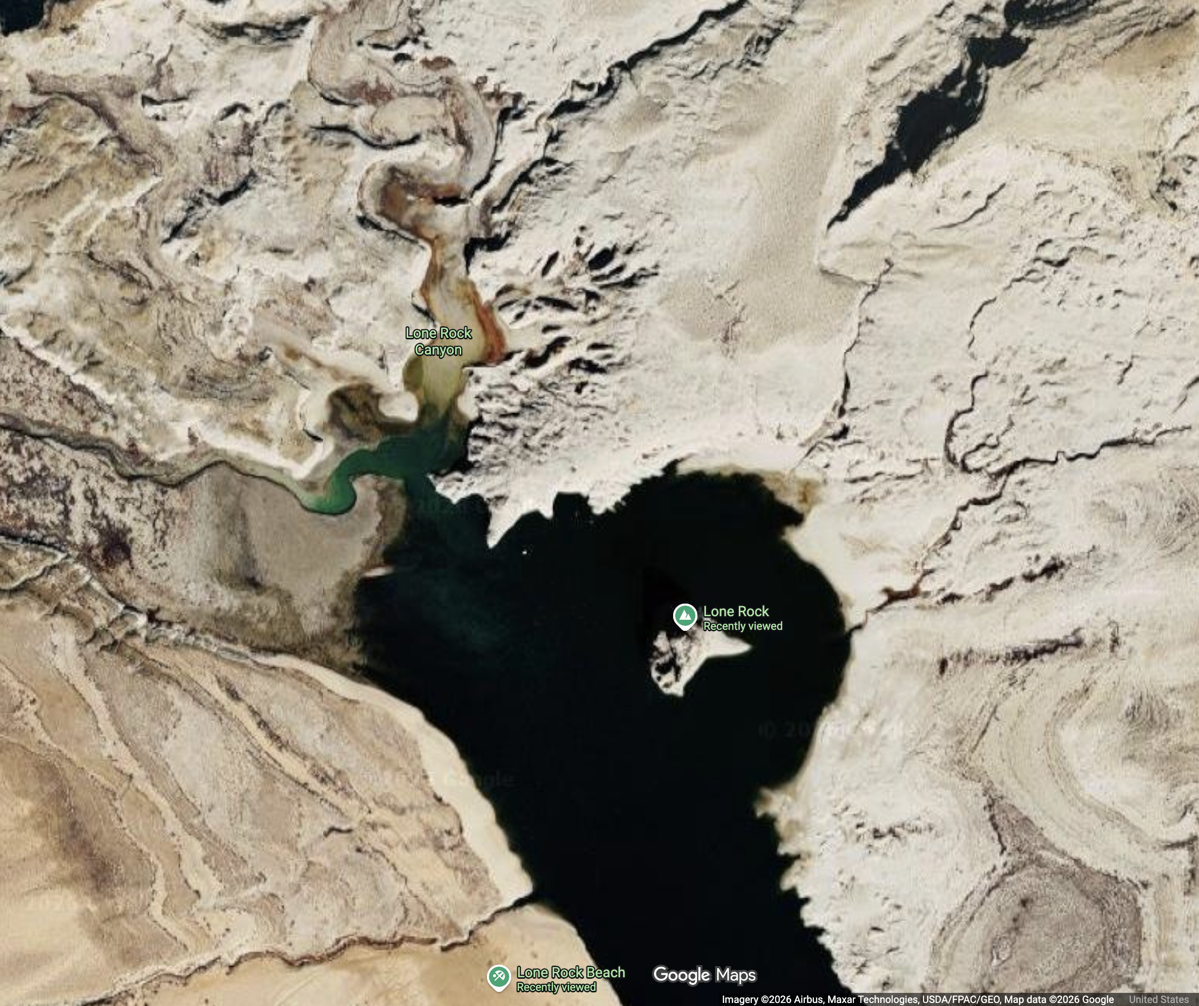
- Title:
- Lone Rock Beach Satellite View
- Creator:
- Google Maps
- Subjects:
- Land water maps
- Location in Relation to Dam:
- Above Dam
- Pre/Post Dam:
- Post-Dam
- Latitude:
- 37.02804708
- Longitude:
- -111.5329221
- Type:
- Image;StillImage
- Format:
- image/jpeg
- Language:
- eng
- Link to Original:
- https://www.google.com/maps/@37.0195176,-111.539322,15z?entry=ttu&g_ep=EgoyMDI2MDUxMS4wIKXMDSoASAFQAw%3D%3D
Source
- Preferred Citation:
- "". . . . https://www.google.com/maps/@37.0195176,-111.539322,15z?entry=ttu&g_ep=EgoyMDI2MDUxMS4wIKXMDSoASAFQAw%3D%3D
- Reference Link:
- https://cdil.lib.uidaho.edu/sedimentation/items/sediment342.html
Rights
- Rights:
- In copyright, educational use permitted. Educational use includes non-commercial reproduction of text and images in materials for teaching and research purposes.
- Standardized Rights:
- http://rightsstatements.org/vocab/InC-EDU/1.0/