

IMAGE
Mud bank erosion Item Info Original Source
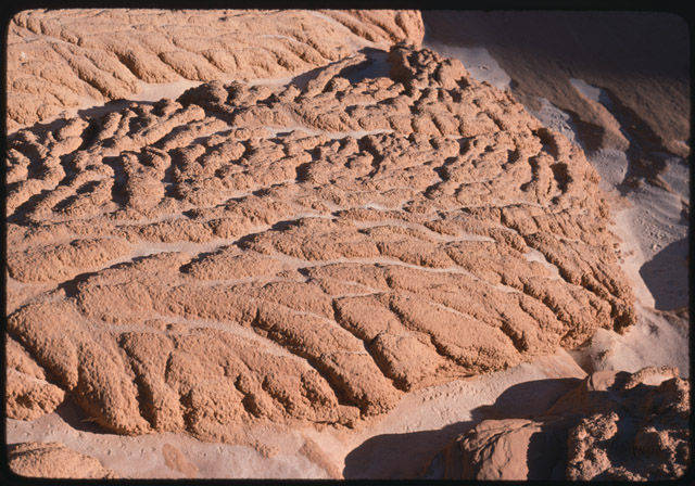
- Title:
- Mud bank erosion
- Creator:
- Nichols, Tad
- Date Created:
- 1976
- Subjects:
- sediment land
- Location:
- Glen Canyon Hall's Crossing
- Location in Relation to Dam:
- Above Dam
- Pre/Post Dam:
- Post-Dam
- Latitude:
- 37.45896848
- Longitude:
- -110.7147633
- Source:
- Special Collections and Archives, Cline Library, Northern Arizona University.
- Type:
- Image;StillImage
- Format:
- image/jpeg
- Language:
- eng
- Original Repository Title:
- Mud bank erosion - L. Powell - Halls Cr. [Hall's Crossing].
- Original Repository Filename:
- https://cdm16748.contentdm.oclc.org/digital/api/singleitem/image/cpa/22988/default.jpg
- Original Item Number:
- 24741
- Call Number:
- NAU.PH.99.3.1.62.9
- Link to Original:
- https://cdm16748.contentdm.oclc.org/digital/collection/cpa/id/22988/rec/2820
Source
- Preferred Citation:
- "Mud bank erosion". NAU.PH.99.3.1.62.9. Colorado Plateau Archives. Special Collections and Archives, Cline Library, Northern Arizona University. https://cdm16748.contentdm.oclc.org/digital/collection/cpa/id/22988/rec/2820
- Reference Link:
- https://cdil.lib.uidaho.edu/sedimentation/items/sediment89.html
Rights
- Rights:
- This digital object is from Northern Arizona University’s Digital Collections and is held in copyright by the Arizona Board of Regents. NAU has granted permission to use this object at a low resolution for this project. For all other uses, please contact Northern Arizona University Library Special Collections and Archives at special.collections@nau.edu. The creators of this project are not liable for any violations of the law by users.
- Standardized Rights:
- http://rightsstatements.org/vocab/InC-EDU/1.0/